


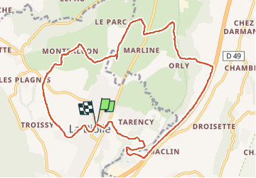

8.5 km | 14.8 km-effort

User


FREE GPS app for hiking
 SityTrail
IGN / Geographical institutes
SityTrail World
The world is yours!
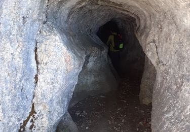
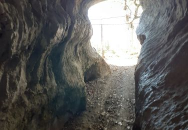
Trail Walking of 12 km to be discovered at Auvergne-Rhône-Alpes, Savoy, La Biolle. This trail is proposed by roclem421.
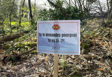
Départ de l'église de la Biolle le long de l'autoroute un peut bruyant le reste très calme soleil est ombragé


Walking
Walking
Walking
Walking

Walking

Walking
Walking
Walking
Walking